
World Geography Trivia: 34 Bizarre Borders, Time-Traveling Islands & Extreme Wonders
Skip the dry atlas drills—explore 34 wild border oddities, bridge-free mega-rivers, and extreme planetary landmarks that defy common sense.

1.Why does France hold the world record with twelve separate time zones?
Correct Answer: B. Scattered overseas island territories
Explanation: When most travelers picture France, they think of the hexagon-shaped European mainland operating on Central European Time (UTC+1). Yet France officially spans twelve distinct time zones—more than any other sovereign nation on Earth, beating both the United States (eleven) and Russia (eleven).
The secret lies in France's far-flung overseas departments, collectivities, and territories (DOM-TOM) scattered across every major ocean on the globe. From French Polynesia in the South Pacific (UTC-10) and Guadeloupe in the Caribbean (UTC-4) to Réunion in the Indian Ocean (UTC+4) and Wallis and Futuna (UTC+12), the sun literally never sets on French soil.
Even though mainland France can be driven across in less than twelve hours, its global maritime footprint stretches across nearly the entire 24-hour clock!
2.Which two countries exchange ownership of Pheasant Island every six months since 1659?
Correct Answer: A. France and Spain
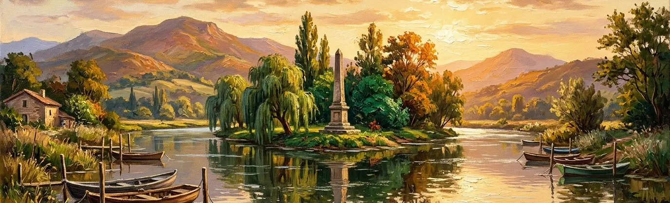
Explanation: Nestled in the middle of the Bidasoa River separating the Basque border towns of Hendaye and Irun sits Pheasant Island (Île des Faisans / Isla de los Faisanes)—a quiet, uninhabited 200-meter-long wooded islet that holds the title of the world's oldest condominium territory.
In 1659, after three decades of brutal warfare, French Cardinal Mazarin and Spanish minister Luis de Haro met on the neutral river island to sign the historic Treaty of the Pyrenees. To seal the peace, King Louis XIV of France married the Spanish Infanta Maria Theresa on the island—and the two nations agreed to share sovereignty over the islet forever by taking turns.
For more than 365 years without interruption, Pheasant Island has officially belonged to Spain from February 1 to July 31, and then peacefully switches to become part of France from August 1 to January 31!
3.Which ocean contains the Sargasso Sea, the only sea without any land coastline?
Correct Answer: D. The North Atlantic Ocean
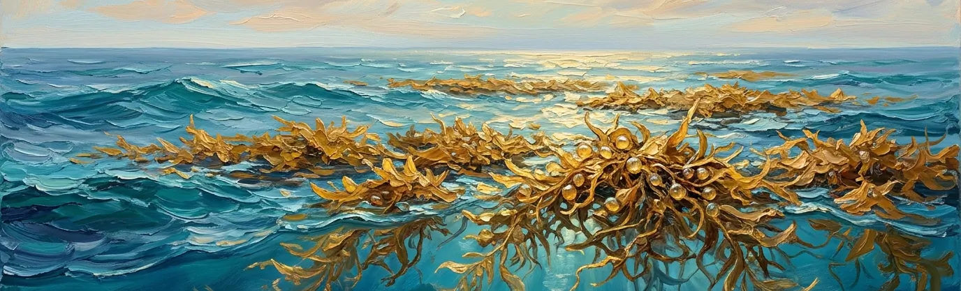
Explanation: Every sea on Earth is defined by the continents, peninsulas, or island chains that enclose its shores—except for the Sargasso Sea. Located entirely within the open waters of the North Atlantic Ocean, the Sargasso Sea is bounded not by land, but by four rotating ocean currents that form the North Atlantic Gyre: the Gulf Stream to the west, the North Atlantic Current to the north, the Canary Current to the east, and the North Atlantic Equatorial Current to the south.
Stretching roughly 1,100 kilometers wide and 3,200 kilometers long around Bermuda, this calm, deep-blue expanse is famous for its floating golden carpets of Sargassum seaweed, kept afloat by tiny berry-like gas bladders.
Endangered European and American freshwater eels swim thousands of miles from rivers across two continents just to spawn inside the Sargasso Sea's warm, sheltered weeds.
4.Why is Ecuador's Mount Chimborazo peak technically farther from Earth's center than Everest?
Correct Answer: B. Equatorial centrifugal planet bulge
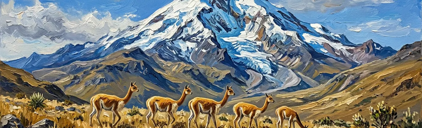
Explanation: Measured from sea level, Mount Everest in the Himalayas is the undisputed tallest mountain on Earth at 8,848.86 meters (29,031.7 feet), while Ecuador's inactive stratovolcano Mount Chimborazo reaches a more modest 6,263 meters (20,548 feet) above sea level. Yet if you measure from the exact geometric center of the Earth, Chimborazo beats Everest by more than two kilometers!
Because Earth spins rapidly on its axis, centrifugal force flattens the poles and causes our planet to bulge outward around the equator as an "oblate spheroid." Earth's equatorial radius is roughly 21 kilometers (13 miles) greater than its polar radius.
Sitting just one degree south of the equator atop that planetary bulge, Chimborazo's icy summit sits 6,384.4 kilometers from Earth's core—compared to Everest's 6,382.3 kilometers—making Chimborazo the closest point on Earth to the stars!
5.How close are Russia's Big Diomede and America's Little Diomede islands across water?
Correct Answer: A. Just 2.4 miles apart
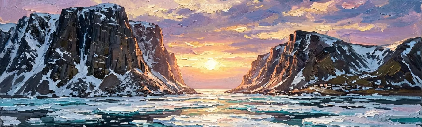
Explanation: While mainland Russia and mainland Alaska are separated by 55 miles across the Bering Strait, the actual maritime border between the Russian Federation and the United States narrows to a mere 2.4 miles (3.8 kilometers) between two rocky islands in the middle of the strait: Russia's Big Diomede (Ratmanov Island) and America's Little Diomede.
During harsh Arctic winters, pack ice frequently freezes into a solid bridge between the two islands, making it theoretically possible (though strictly illegal) to walk from the United States to Russia on foot in less than an hour.
Even more mind-bending, the International Date Line runs directly through the 2.4-mile gap between them. Because Big Diomede sits 21 hours ahead of Little Diomede, they are nicknamed "Tomorrow Island" and "Yesterday Island"!
6.Which landlocked Central Asian nation is doubly landlocked by five surrounding landlocked neighbors?
Correct Answer: C. Silk Road Uzbekistan
Explanation: Out of more than 40 landlocked countries on Earth, only two nations are "doubly landlocked"—meaning they are completely surrounded by other countries that are themselves landlocked, requiring a traveler to cross at least two international borders to reach an open ocean coastline.
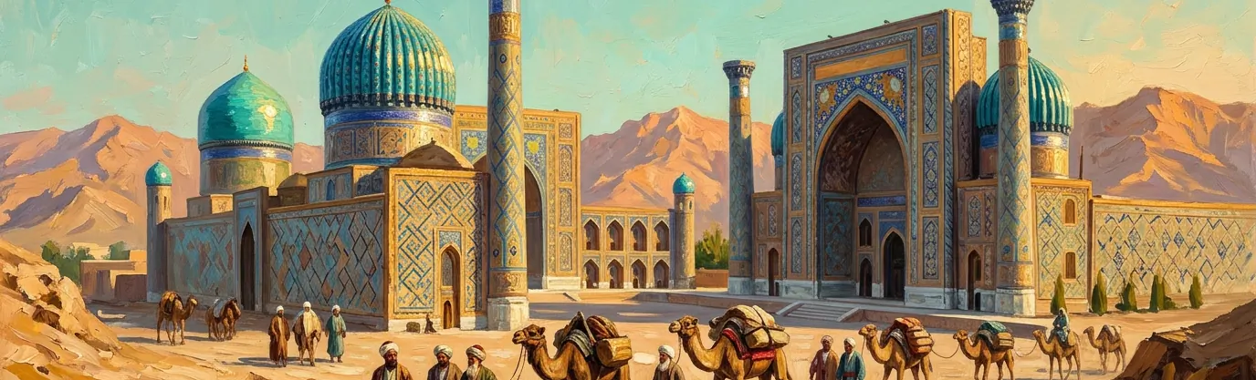
One is tiny Alpine Liechtenstein in Europe (wedged between landlocked Switzerland and Austria). The other—and the only one surrounded by five separate landlocked countries—is Uzbekistan in Central Asia, bordered by Kazakhstan, Kyrgyzstan, Tajikistan, Afghanistan, and Turkmenistan.
Wait—don't Kazakhstan and Turkmenistan border the Caspian Sea? Because the Caspian is an endorheic inland basin with no natural outlet to the world's oceans, both nations remain geographically landlocked, preserving Uzbekistan's rare double-landlocked status alongside its legendary Silk Road cities of Samarkand, Bukhara, and Khiva.

7.Why does the Belgian town of Baarle-Hertog have house front doors splitting borders?
Correct Answer: D. Twenty-two medieval Dutch enclaves
Explanation: The twin municipality of Baarle-Hertog (Belgium) and Baarle-Nassau (Netherlands) features the most wonderfully tangled international border on the planet. Owing to a web of medieval land swaps, feudal treaties, and sales between the Lords of Breda and the Dukes of Brabant dating back to 1198, the town contains 22 tiny Belgian enclaves inside the Netherlands—which in turn hold 7 Dutch counter-enclaves inside them!
Marked across sidewalks and streets by rows of white painted crosses, the border slices straight through cafés, supermarkets, backyards, and living rooms. When Dutch pubs had to close earlier than Belgian pubs, patrons simply moved their chairs to a table on the other side of the dining room!
To prevent confusion for mail carriers and tax collectors, the town enforces the "Front Door Rule": whichever country your front door opens into determines your house's official nationality—leading one homeowner whose front door is bisected by the line to install two separate street numbers and two doorbells!
8.Which South American river contains zero bridges across its entire 4,000-mile main course?
Correct Answer: B. The mighty Amazon River
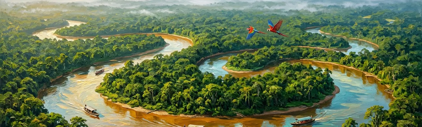
Explanation: Discharging more water into the ocean than the next seven largest rivers on Earth combined, the Amazon River winds roughly 6,400 kilometers (4,000 miles) across Peru, Colombia, and Brazil—yet not a single road or railway bridge crosses its entire main stem!
Why has no engineer ever bridged the Amazon? First, during the annual rainy season, the river swells from 10 kilometers wide to an inland sea over 48 kilometers (30 miles) wide, submerging surrounding floodplains (várzea) under 40 feet of water and leaving no solid bedrock banks for bridge piers.
Second, the dense Amazon rainforest contains very few connecting highways; the roughly 10 million residents living along the river rely on ferries, riverboats, and floating docks as their natural highways. (While the Rio Negro Bridge opened near Manaus in 2011, it spans a tributary rather than the Amazon itself.)
9.Which continent is the only one on Earth without any active volcanoes?
Correct Answer: A. Mainland Australia
Explanation: Even icy Antarctica boasts active magma cauldrons like Mount Erebus, leaving mainland Australia as the sole continent on Earth with zero currently active volcanoes. While neighboring Indonesia, Papua New Guinea, and New Zealand sit directly along the explosive tectonic boundaries of the Pacific "Ring of Fire," the Australian continent rides safely in the middle of the Indo-Australian Plate, far from any active subduction zones.
Mainland Australia wasn't always so quiet: thousands of years ago, aboriginal communities in Victoria and South Australia witnessed fiery eruptions at Mount Gambier and Budj Bim (which last erupted roughly 5,000 years ago), immortalizing those events in the world's oldest oral geological traditions.
Today, Australia's only active volcanoes—Big Ben on Heard Island and Mawson Peak on the McDonald Islands—sit 4,000 kilometers away on remote sub-Antarctic islands in the southern Indian Ocean.
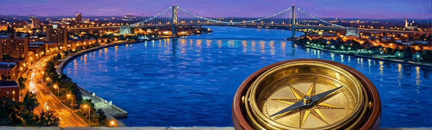
10.What strange geographical reality occurs when traveling due south from Detroit, Michigan?
Correct Answer: C. You enter Ontario, Canada
Explanation: Ask almost any American which direction Canada lies from the contiguous United States, and they will confidently point north. Yet if you stand in downtown Detroit, Michigan, and drive due south across the Ambassador Bridge or through the Detroit-Windsor Tunnel, you cross directly into Windsor, Ontario, Canada!
Because the Detroit River curves in a sharp hook between Lake St. Clair and Lake Erie, the Canadian peninsula of Southwestern Ontario curls underneath southeastern Michigan. That makes Windsor the only major Canadian city located directly south of a major U.S. city.
In fact, the southernmost tip of Canada—Middle Island and Point Pelee in Lake Erie—sits at 41°41' North latitude, placing parts of Ontario farther south than Boston, Chicago, Rome, and the northern border of California!
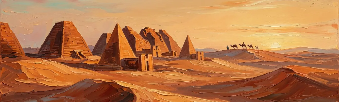
11.Which country boasts more ancient pyramids still standing than all of Egypt?
Correct Answer: D. Nubian desert Sudan
Explanation: While Egypt's monumental pyramids at Giza and Saqqara are world-famous, Egypt has roughly 118 to 138 documented ancient pyramids. Directly to the south along the Nile River, the Republic of Sudan is home to between 200 and 255 ancient pyramids—nearly double Egypt's total!
These striking monuments were built between roughly 800 BCE and 350 CE by the rulers of the Kingdom of Kush—an ancient Nubian superpower whose "Black Pharaohs" of the 25th Dynasty even conquered and ruled Egypt itself for nearly a century.
Clustered at royal necropolises like El-Kurru, Nuri, and the UNESCO World Heritage site of Meroë, Kushite pyramids are narrower and much steeper than Egyptian pyramids (rising at dramatic 60-to-70-degree angles) and were fronted by ornate mortuary chapels carved with reliefs.
12.Why is Point Nemo in the South Pacific famous among spacecraft engineers?
Correct Answer: B. Remotest spacecraft ocean graveyard
Explanation: Officially known as the "oceanic pole of inaccessibility," Point Nemo—named after Jules Verne's submarine captain and the Latin word for "no one"—is the exact spot in the world's oceans farthest from any dry land. Located in the South Pacific at 48°52.6'S, 123°23.6'W, it sits a staggering 2,688 kilometers (1,670 miles) from the nearest tiny specks of land: Ducie Island, Motu Nui (off Easter Island), and Maher Island near Antarctica.
In fact, when the International Space Station orbits overhead at an altitude of 400 kilometers (250 miles), the astronauts aboard are more than six times closer to Point Nemo than the nearest human beings on Earth!
Because virtually no ships sail through its nutrient-poor gyre and no humans live within a thousand miles, space agencies have used Point Nemo since 1971 as the official "Spacecraft Cemetery," de-orbiting more than 260 retired satellites, cargo ships, and the Russian Mir space station into its 4-kilometer-deep waters.
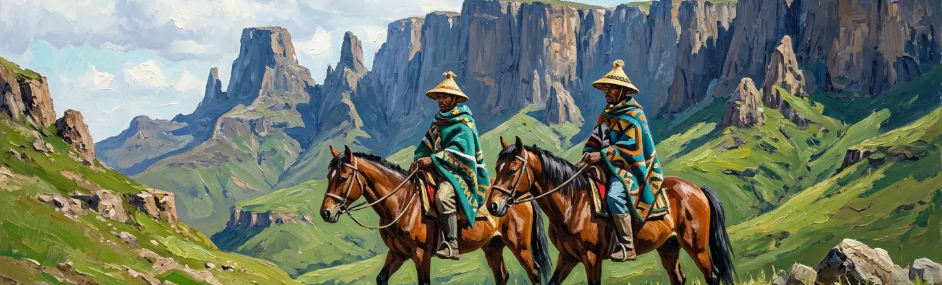
13.Which African nation is completely surrounded inside the territory of South Africa?
Correct Answer: A. High-altitude Kingdom of Lesotho
Explanation: Only three sovereign nations on Earth are "enclave countries" completely encircled by the territory of a single neighbor: Vatican City and San Marino (both surrounded by Italy), and the Kingdom of Lesotho, which sits entirely inside the Republic of South Africa.
Covering 30,355 square kilometers in the rugged Maloti and Drakensberg Mountains, Lesotho is also known as the "Kingdom in the Sky." It holds the remarkable geographical distinction of being the only independent country on Earth whose entire land territory lies above 1,000 meters (3,281 feet) in elevation!
Its lowest point—at the junction of the Orange and Makhaleng rivers—sits at 1,400 meters (4,593 feet) above sea level, higher than the highest mountain peak in dozens of other countries.
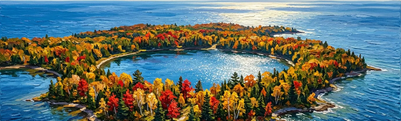
14.What makes Canada's Manitoulin Island inside Lake Huron a triple geographical marvel?
Correct Answer: C. Largest freshwater lake island
Explanation: Covering 2,766 square kilometers (1,068 square miles) in Ontario, Canada—making it larger than the entire country of Luxembourg—Manitoulin Island inside Lake Huron is the largest freshwater lake island anywhere on planet Earth.
Even better, Manitoulin Island sets off a recursive chain of geographical "inception." Dotted across Manitoulin Island itself are 108 freshwater lakes—the largest of which, Lake Manitou (covering 104 square kilometers), is the world's largest lake inside a freshwater island!
And inside Lake Manitou sit several smaller islands—including Treasure Island, the world's largest island inside a lake on an island in a lake!
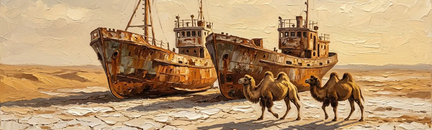
15.Why did the Aral Sea shrink to a tenth of its size after 1960?
Correct Answer: B. Soviet cotton irrigation canals
Explanation: In 1960, the Aral Sea—straddling the border between Kazakhstan and Uzbekistan—was the fourth-largest inland lake on Earth, covering 68,000 square kilometers (26,300 square miles) and supporting thriving fishing ports and canneries that supplied one-sixth of the Soviet Union's fish catch.
In the 1960s, Soviet planners launched a massive agricultural campaign to turn the arid Central Asian steppes into a "white gold" cotton empire. Engineers diverted the Aral Sea's two life-giving tributary rivers—the Amu Darya and the Syr Darya—into thousands of miles of unlined desert irrigation canals where much of the water simply evaporated or soaked into the sand.
Deprived of inflow, the Aral Sea shrank by roughly 90 percent over four decades, splitting into salty remnants and leaving rusted fishing trawlers stranded miles from water in the newly formed Aralkum Desert—until a World Bank dam project successfully revived the Northern Aral Sea in Kazakhstan.
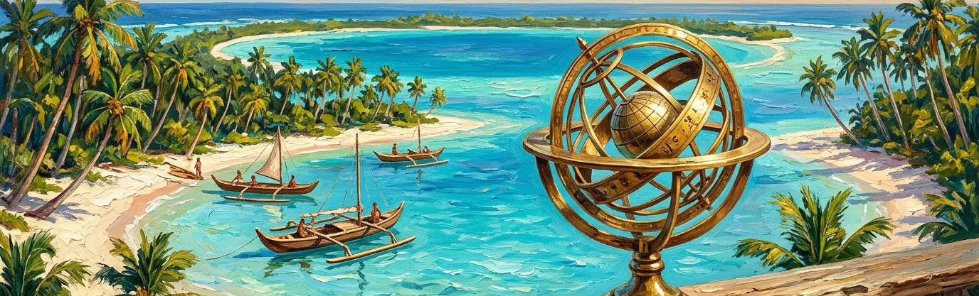
16.Which country spans all four hemispheres—Northern, Southern, Eastern, and Western—at once?
Correct Answer: D. Pacific island Kiribati
Explanation: While Africa is the only continent to sit in all four hemispheres simultaneously, the Republic of Kiribati in the central Pacific Ocean is the only sovereign country on Earth whose territory spans the Northern, Southern, Eastern, and Western hemispheres at the very same time!
Although Kiribati's 32 coral atolls and one raised coral island total just 811 square kilometers of dry land, they are scattered across a vast 3.5 million square kilometers of ocean—an expanse roughly the size of India—straddling both the Equator (0° latitude) and the 180th meridian (the antimeridian).
Until December 31, 1994, the International Date Line split Kiribati in half, meaning government offices on opposite sides of the country were separated by 23 hours and could only conduct business four days a week—prompting Kiribati to swing the Date Line 2,000 miles eastward to UTC+14!
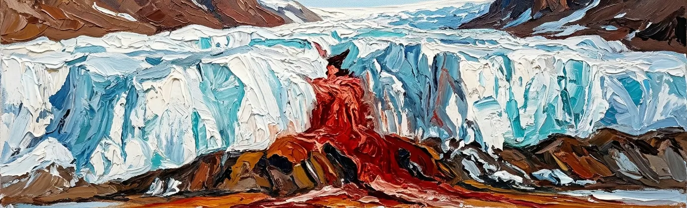
17.What creates the blood-red waterfall pouring out of Antarctica's Taylor Glacier?
Correct Answer: A. Ancient iron-rich saltwater brine
Explanation: First discovered in 1911 by Australian geologist Griffith Taylor in Antarctica's McMurdo Dry Valleys, "Blood Falls" is a five-story crimson plume that oozes out of a fissure in the white snout of the Taylor Glacier onto the ice-covered surface of Lake Bonney. Early polar explorers initially guessed the red stain came from red algae, but modern glaciology revealed a far stranger origin.
Roughly two million years ago, the advancing Taylor Glacier sealed off a hypersaline marine fjord beneath 400 meters of solid ice. Trapped in total darkness without oxygen or sunlight, the subglacial lake became three times saltier than the ocean—preventing it from freezing even at subzero temperatures—and scraped huge concentrations of dissolved iron from the underlying bedrock.
Whenever this clear, iron-packed brine squeezes through subglacial hydraulic channels and hits the open Antarctic air, the iron instantly oxidizes (rusts) upon contact with oxygen, turning the waterfall a dramatic blood-red!
18.Which European country contains more than 187,000 natural lakes carved by glaciers?
Correct Answer: C. Forested Nordic Finland
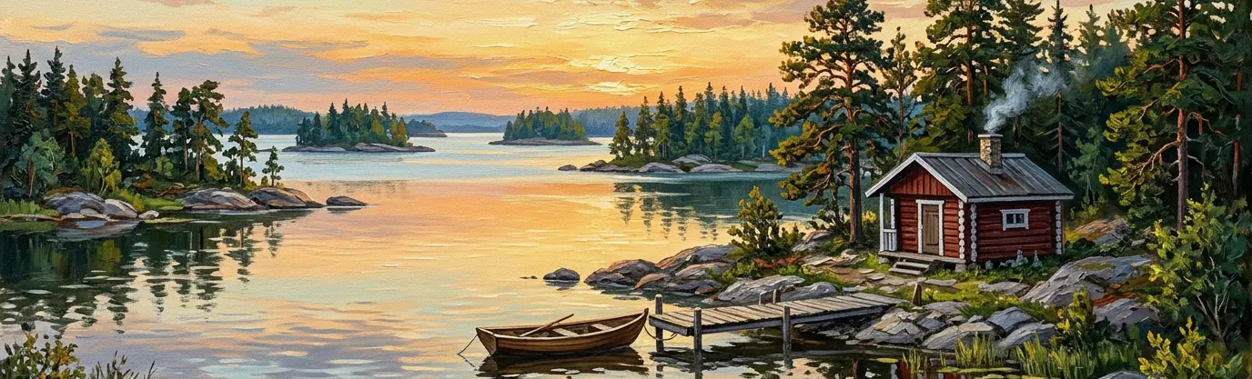
Explanation: Affectionately known around the world as "The Land of a Thousand Lakes," Finland actually undersells itself by two orders of magnitude! According to the Finnish Environment Institute, Finland contains exactly 187,888 natural lakes measuring at least 500 square meters (about one-eighth of an acre) in surface area.
When the massive Fennoscandian Ice Sheet retreated at the end of the last Ice Age roughly 10,000 years ago, grinding glaciers gouged out tens of thousands of depressions across Finland's ancient granite bedrock, which subsequently filled with crystal-clear meltwater.
In the Finnish Lakeland district—home to sprawling Lake Saimaa and its rare freshwater Saimaa ringed seal—water and pine-forested islands are so intricately braided together that Finland actually has more islands inside its lakes (nearly 100,000) than many island nations have in the sea!
19.Why does Turkmenistan's fiery Darvaza crater burn continuously inside the Karakum Desert?
Correct Answer: B. 1971 natural gas collapse
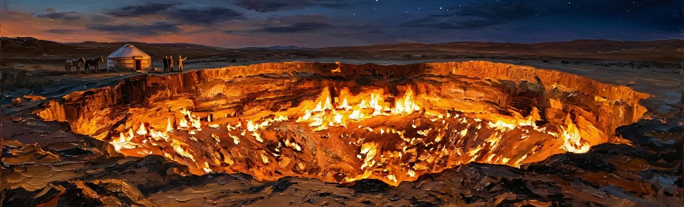
Explanation: Glowing like a 70-meter-wide cauldron of fire in the middle of Turkmenistan's Karakum Desert, the Darvaza gas crater—famous among travelers as the "Door to Hell" or "Gates of Karakum"—is not a natural volcano, but a Soviet drilling mishap that has been burning non-stop for more than half a century.
In 1971, Soviet geologists prospecting for oil set up a heavy drilling rig over what they thought was a solid rock dome. Instead, they punctured a shallow, cavernous underground pocket of natural gas; the ground collapsed beneath the camp, swallowing the drilling rig into a 30-meter-deep sinkhole that began leaking poisonous methane gas across the desert.
To prevent the toxic gas from asphyxiating nearby villages and desert wildlife, engineers tossed a flare into the pit, expecting the gas pocket to burn off within a few weeks. More than fifty years later, the crater's thousands of fiery vents are still roaring!
20.Which Asian country's official time zone sits an unusual forty-five minutes ahead of UTC?
Correct Answer: D. Himalayan Nepal at UTC+5:45
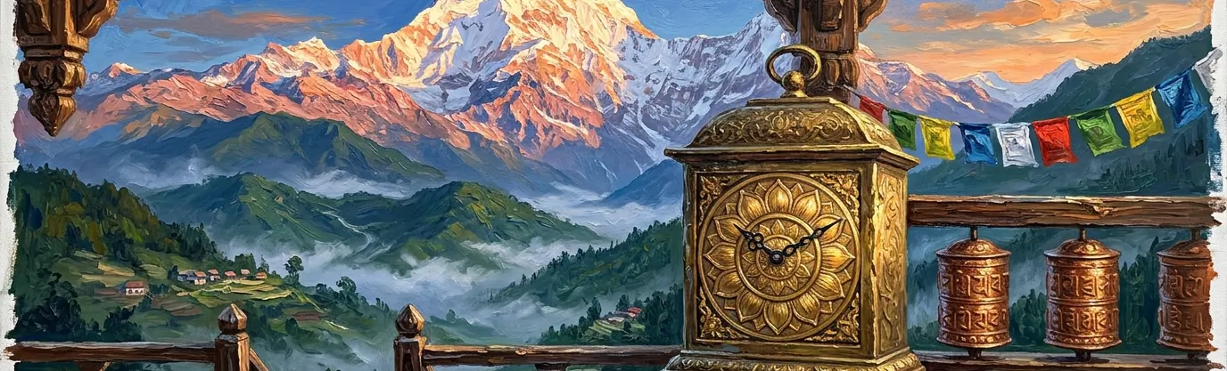
Explanation: While most countries set their clocks in neat one-hour increments from Coordinated Universal Time (UTC) and a few nations like India (UTC+5:30) and Iran (UTC+3:30) use 30-minute offsets, Nepal is the only sovereign country on Earth whose national standard time sits on a 45-minute offset: UTC+5:45!
Until 1986, Nepal used Indian Standard Time (UTC+5:30). Eager to assert its distinct national identity from its giant southern neighbor, King Birendra's government shifted Nepal Time forward by 15 minutes in 1986 to align precisely with the local solar meridian of Gauri Shankar, a sacred 7,134-meter Himalayan peak located east of Kathmandu at 86°15' East longitude.
Because crossing the open border from India into Nepal requires advancing your watch by exactly 15 minutes, travelers enjoy one of the quirkiest jet-lag transitions on the planet!
21.What separates North American and Eurasian tectonic plates inside Iceland's Thingvellir valley?
Correct Answer: A. A walkable rift canyon
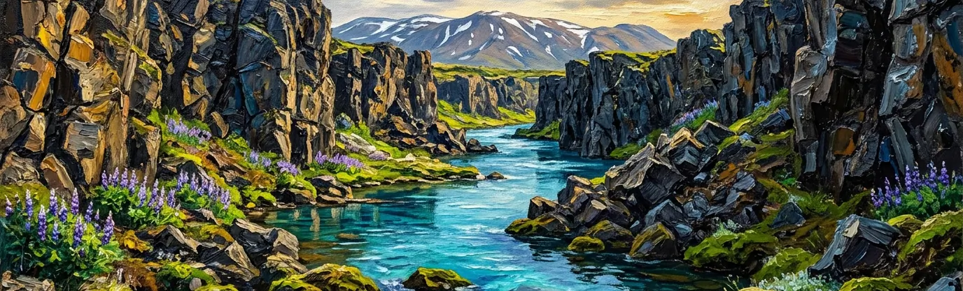
Explanation: For almost its entire 16,000-kilometer (10,000-mile) length, the Mid-Atlantic Ridge—the divergent tectonic boundary where the North American and Eurasian plates are pulling apart—lies hidden miles beneath the waves of the Atlantic Ocean. The one spectacular place where this mid-ocean ridge rises above sea level onto dry land is Iceland!
At Thingvellir (Þingvellir) National Park just east of Reykjavik, visitors can stroll down the dramatic Almannagjá gorge—a steep-walled basalt rift valley that forms the eastern edge of the North American tectonic plate—or snorkel in the crystal-clear glacial waters of the Silfra fissure right between the two diverging continents.
Driven by upwelling magma beneath the island, the North American and Eurasian plates in Thingvellir drift apart at a rate of roughly 2 centimeters (0.8 inches) every year—and it was right inside this natural stone amphitheater that Viking settlers founded the Althing, the world's oldest surviving parliament, in 930 CE.
22.Which U.S. state is simultaneously the northernmost, westernmost, and easternmost state?
Correct Answer: C. Aleutian-spanning Alaska
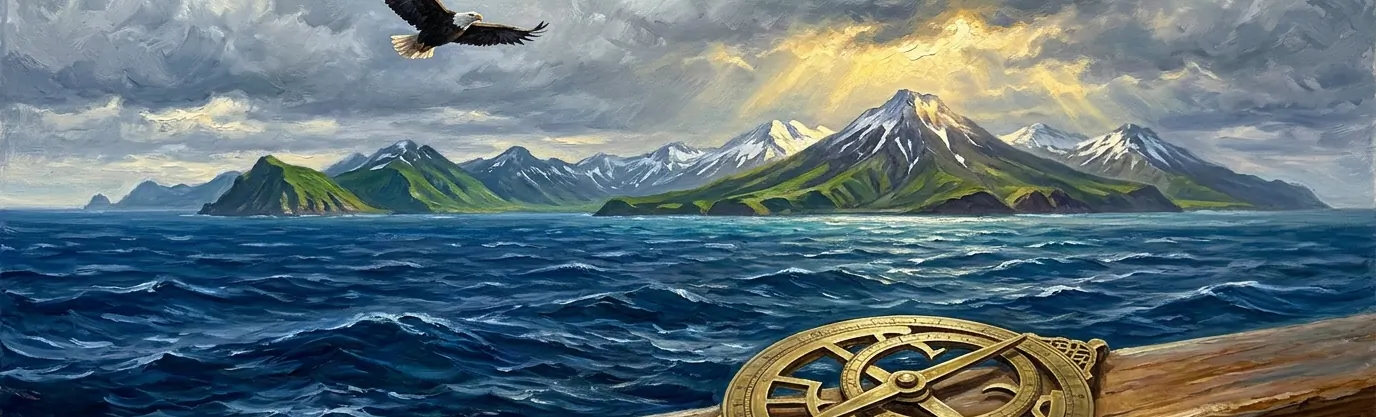
Explanation: Every geography student knows that Alaska is the northernmost U.S. state (topping out at Point Barrow at 71°23' North) and the westernmost state. Yet by the strict rules of global longitude, Alaska is also the easternmost state in the United States—beating West Quoddy Head, Maine!
How can the same state be both farthest west and farthest east? As Alaska's Aleutian Island chain arcs 1,900 kilometers westward across the North Pacific toward Russia, its outermost islands—including Semisopochnoi Island and Amatignak Island—actually cross the 180th meridian (180° longitude) into the Eastern Hemisphere!
Sitting at 179°46' East longitude, Semisopochnoi Island in Alaska is technically the easternmost land in North America!
23.Why does Bolivia's Salar de Uyuni turn into the world's largest natural mirror?
Correct Answer: B. Thin rainwater over salt
Explanation: High atop the Bolivian Altiplano in the Andes at 3,656 meters (11,995 feet) above sea level stretches Salar de Uyuni—the world's largest salt flat, covering more than 10,582 square kilometers (4,086 square miles) with a blinding-white crust of halite salt up to ten meters thick left behind evaporated prehistoric lakes.
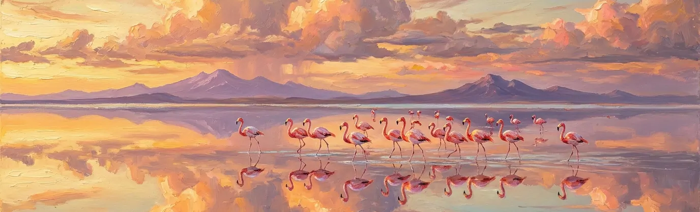
Because the salt crust is extraordinarily flat—varying in elevation by less than one meter across the entire 10,000-square-kilometer expanse—a magical transformation occurs every December through March during the Andean summer rainy season. When a thin centimetre-deep sheet of rainwater pools across the impermeable salt, the wind-calm water erases the horizon line completely.
The resulting 130-kilometer-wide mirror reflects the sky, clouds, and stars with such optical perfection that NASA and the European Space Agency use Salar de Uyuni to calibrate Earth-observing satellite altimeters from orbit!
24.Which narrow shipping chokepoint connects the Persian Gulf with the Arabian Sea?
Correct Answer: D. The Strait of Hormuz
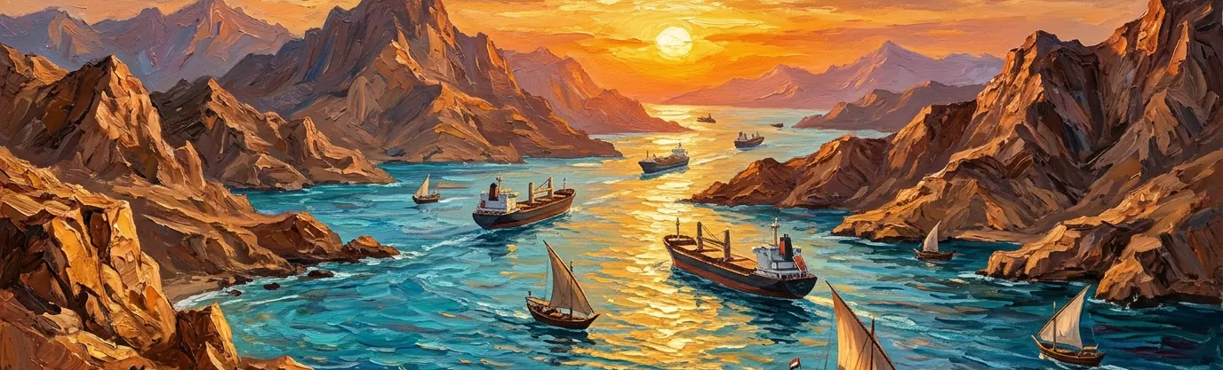
Explanation: Separating Iran to the north from Oman's Musandam Peninsula and the United Arab Emirates to the south, the Strait of Hormuz is the sole maritime passage linking the oil-rich Persian Gulf with the Gulf of Oman and the open Arabian Sea.
At its narrowest point, the strait measures just 33 kilometers (21 miles) across, and the two-way deepwater shipping lanes used by supertankers are only three kilometers (two miles) wide in each direction, separated by a three-kilometer buffer zone.
Roughly one-fifth of the world's total petroleum consumption—around 20 million barrels of crude oil per day—and a quarter of all liquefied natural gas pass through this single narrow corridor, making it the most strategically vital maritime chokepoint on Earth.
25.Why do trees in Poland's Crooked Forest grow with ninety-degree curved trunks?
Correct Answer: A. 1930s human sapling bending
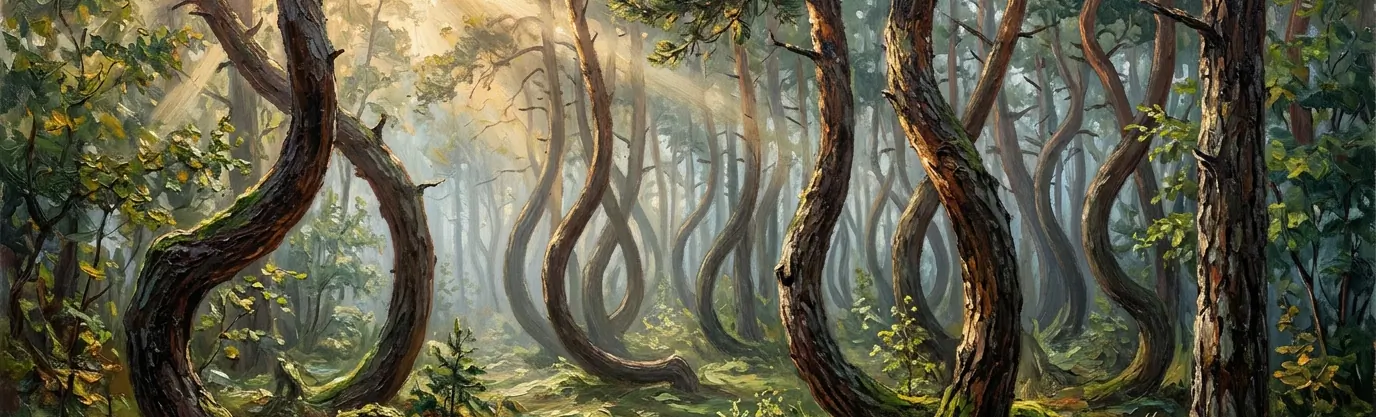
Explanation: Outside the town of Gryfino in West Pomerania, Poland, stands a surreal grove of roughly 400 Scots pine trees known as the "Crooked Forest" (Krzywy Las). Just inches above the forest floor, every single tree trunk bends sharply at a 90-degree angle—pointing due north—before sweeping outward in a wide J-shaped curve and growing straight up 50 feet toward the sky.
While folklore blamed alien gravity anomalies or World War II Soviet tanks flattening the saplings, forestry historians note that the surrounding forest consists of completely straight pines. The bent trees were planted around 1930 when the village (then called Neuendorf) lay in the German province of Pomerania.
Local foresters or boatbuilders almost certainly pinned or notched the young seven-year-old saplings manually to grow naturally curved "compass timber" for wooden boat hulls, ox yokes, or bentwood furniture—before World War II broke out in 1939 and the town was evacuated, leaving the mysterious grove behind.
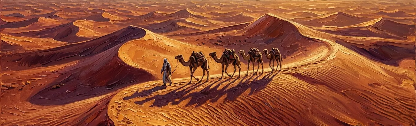
26.Which sovereign country has zero permanent natural rivers flowing across its territory?
Correct Answer: C. Desert kingdom Saudi Arabia
Explanation: Covering 2.15 million square kilometers (830,000 square miles)—roughly the size of Western Europe—the Kingdom of Saudi Arabia is by far the largest country on Earth without a single permanent, year-round natural river or natural freshwater lake!
Instead of permanent rivers, the Arabian Peninsula is crisscrossed by dry, rocky riverbeds called wadis (such as the 1,200-kilometer Wadi al-Rummah) that briefly roar with flash floods after rare winter rainstorms before soaking into the desert sands or evaporating under blazing sun.
How does a desert kingdom of over 35 million people supply fresh water without rivers? Roughly half comes from ancient non-renewable underground aquifers, while the other half is produced by the world's largest network of coastal seawater desalination plants along the Red Sea and Persian Gulf.
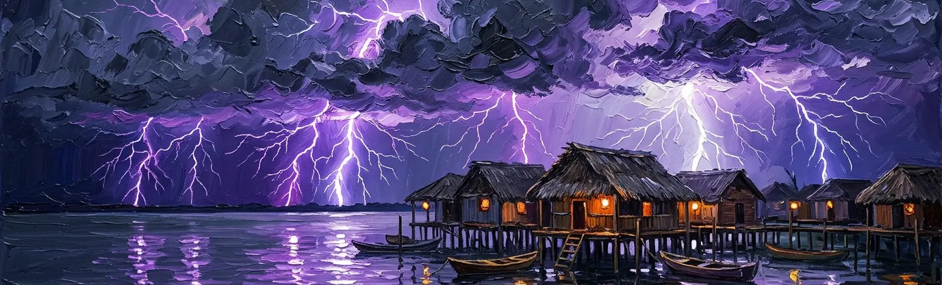
27.What makes Venezuela's Lake Maracaibo the most electric body of water on Earth?
Correct Answer: B. Relentless Catatumbo lightning storms
Explanation: Where the Catatumbo River empties into the southern end of Venezuela's brackish Lake Maracaibo, the night sky erupts in a breathtaking atmospheric phenomenon known as "Catatumbo lightning" (Relámpago del Catatumbo)—officially recognized by Guinness World Records and NASA as the highest concentration of lightning on Earth, averaging 250 bolts per square kilometer every year!
On 140 to 160 nights a year, electrical storms rage for up to nine hours straight, firing up to 28 lightning flashes every single minute—a total of more than 1.2 million lightning bolts annually.
The nonstop light show is powered by unique local topography: three-sided cordilleras of the Andes trap warm, humid trade winds blowing off the Caribbean over Lake Maracaibo's swampy marshes, forcing them upward into icy mountain air descending from the peaks. For centuries, Caribbean sailors used the glowing horizon of Lake Maracaibo as a natural lighthouse, dubbing it the "Beacon of Maracaibo."
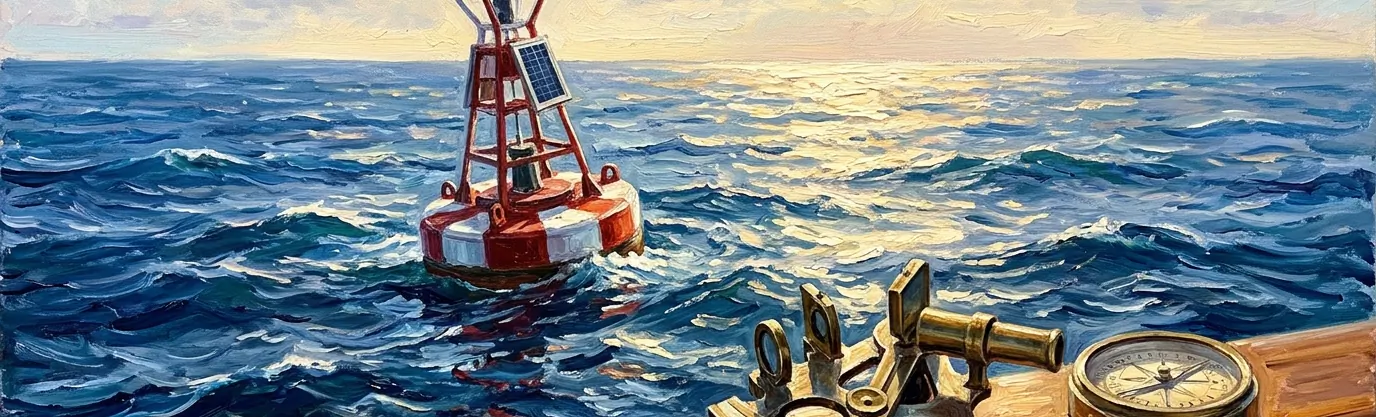
28.Where on Earth do Zero Degrees latitude and Zero Degrees longitude intersect?
Correct Answer: D. Gulf of Guinea waters
Explanation: In GIS mapping and cartography, the exact point where the Equator (0° latitude) crosses the Prime Meridian (0° longitude) has an affectionate nickname: "Null Island." Whenever a geocoding database encounters a broken address or missing GPS coordinates, it frequently defaults to (0, 0)—placing millions of "lost" deliveries and photos at this exact spot!
In reality, there is no island at (0°N, 0°E) at all. The intersection lies in the tropical international waters of the Gulf of Guinea in the eastern Atlantic Ocean, roughly 610 kilometers (380 miles) south of Accra, Ghana, and 1,078 kilometers west of Gabon.
The only physical object marking the origin of Earth's coordinate grid is "Station 13010—Soul," an autonomous weather and oceanographic mooring buoy anchored to the 4,940-meter-deep seafloor below!
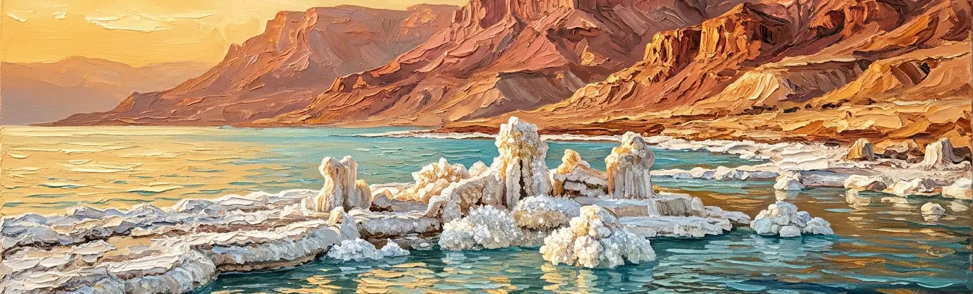
29.Why is the Dead Sea shoreline the lowest dry land elevation on Earth?
Correct Answer: A. Sunken Jordan Rift Valley
Explanation: Bordered by Jordan to the east and Israel and the West Bank to the west, the mineral-crusted shoreline of the Dead Sea sits more than 430.5 meters (1,412 feet) below sea level—making it the lowest exposed land elevation anywhere on planet Earth.
The Dead Sea occupies a deep "pull-apart basin" (graben) inside the Jordan Rift Valley, part of the 6,000-kilometer Dead Sea Transform fault system where the African and Arabian tectonic plates slide past each other while pulling slightly apart, causing the valley floor between them to drop continuously over millions of years.
Because the Dead Sea is a terminal lake with no outlet—and because the sun-baked rift valley evaporates water faster than the Jordan River can replenish it—its waters reach an astonishing 34.2 percent salinity, nearly ten times saltier than the ocean, allowing swimmers to float effortlessly like corks!
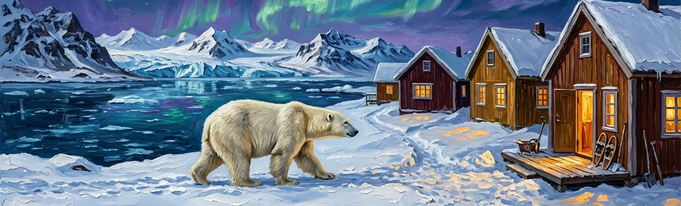
30.Which Nordic archipelago requires residents to leave doors unlocked against roaming polar bears?
Correct Answer: C. Arctic Norwegian Svalbard
Explanation: Located halfway between mainland Norway and the North Pole at 78° North latitude, the Arctic archipelago of Svalbard—and its main settlement of Longyearbyen, the world's northernmost town with over 2,000 residents—is home to roughly 3,000 wild polar bears, meaning polar bears outnumber people across the islands!
Because a hungry polar bear can wander into town through the four-month winter polar night at any moment, local custom in Longyearbyen dictates leaving both house front doors and parked cars unlocked at all times so any pedestrian spotted by a bear can immediately dive inside the nearest shelter.
Furthermore, under Norwegian law, anyone traveling outside the settlement limits of Longyearbyen is legally required to carry a high-powered rifle and flare gun for polar bear protection—making Svalbard University the only campus on Earth where students take mandatory polar bear marksmanship classes during freshman orientation!
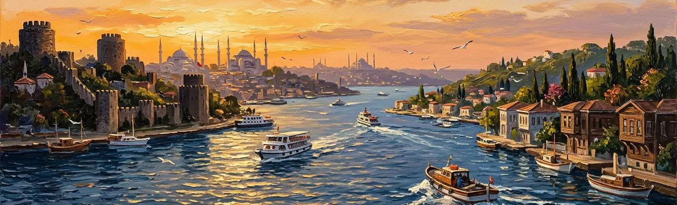
31.What connects the Black Sea to the Sea of Marmara through Istanbul?
Correct Answer: B. The Bosporus Strait
Explanation: Slicing 31 kilometers (19 miles) right through the heart of Istanbul, Turkey, the Bosporus Strait (Boğaziçi) is the world's narrowest strait used for international maritime navigation—shrinking to just 700 meters (2,300 feet) wide between the medieval fortresses of Rumelihisarı and Anadoluhisarı.
Geographically, the Bosporus forms the continental boundary separating the European side of Istanbul (Thrace) from the Asian side (Anatolia), making Istanbul the only major metropolis in the world built astride two continents.
Beneath the ferries and cargo ships crossing the surface flows an extraordinary hydrological secret: while fresher surface water flows southward from the Black Sea into the Sea of Marmara, a dense, salty undersea river flows in the exact opposite direction along the bottom of the canyon!
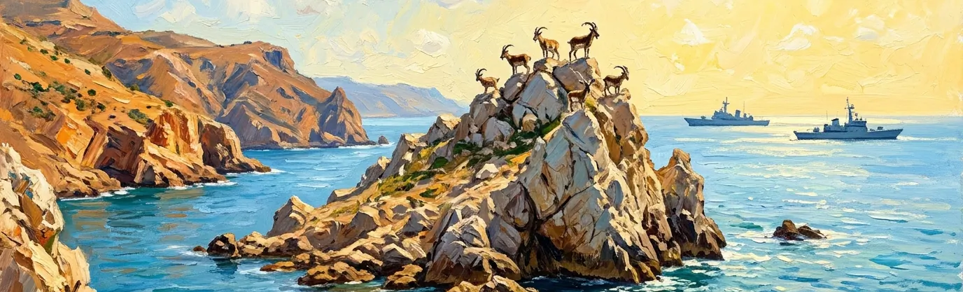
32.Why did Spain and Morocco nearly clash in 2002 over tiny Perejil Island?
Correct Answer: D. Uninhabited rocky goat islet
Explanation: In July 2002, NATO member Spain and the Kingdom of Morocco came to the brink of armed conflict over Perejil Island (literally "Parsley Island," known in Arabic as Tourah)—a barren, uninhabited chunk of rock the size of fifteen soccer fields sitting just 200 meters off the Moroccan coast in the Strait of Gibraltar, frequented only by local Moroccan shepherds grazing their goats.
On July 11, 2002, twelve Moroccan gendarmes landed on the disputed rock and pitched tents, claiming they were setting up a lookout post against smugglers. Six days later, Spain launched "Operation Romeo-Sierra," deploying attack helicopters, warships, and 28 elite Spanish special forces commandos to retake the goat-grazing rock at dawn without firing a shot.
It took frantic telephone mediation by U.S. Secretary of State Colin Powell—who later joked about negotiating over a rock he needed a magnifying glass to find on a map—to persuade both nations to withdraw and return the island to its previous uninhabited status!
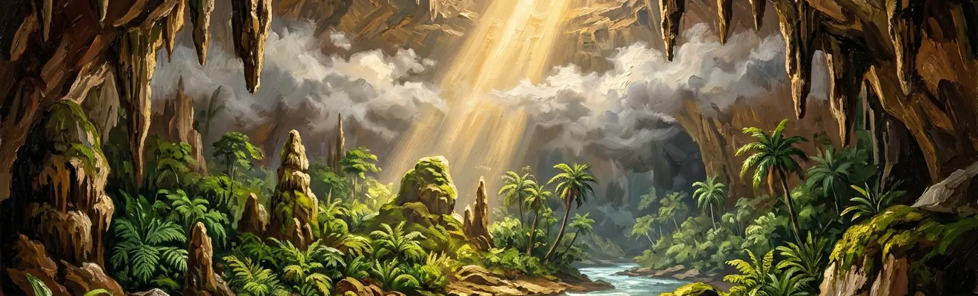
33.Which subterranean cave in Vietnam is so colossal it generates its own clouds?
Correct Answer: A. Hang Son Doong cavern
Explanation: Hidden inside Phong Nha-Kẻ Bàng National Park in central Vietnam near the Laotian border lies Hang Sơn Đoòng ("Mountain River Cave")—by total internal volume (38.5 million cubic meters), the largest known natural cave passage on planet Earth. Although local logger Hồ Khanh stumbled upon its whistling entrance in 1991, British-Vietnamese caving expeditions didn't survey its full immensity until 2009.
Carved over millions of years by the subterranean Rào Thương River dissolving Carboniferous limestone, Sơn Đoòng's main chamber stretches more than five kilometers long, 200 meters (650 feet) high, and 150 meters wide—large enough to fly a Boeing 747 through or stack a 40-story New York City block inside!
Because two giant ceiling dolines (sinkholes) collapsed hundreds of thousands of years ago, beams of sunlight pour inside to nourish two lush underground rainforests complete with 30-meter trees, monkeys, and flying foxes—while temperature differences between the underground river and outside air form real mist clouds floating beneath the cave roof!
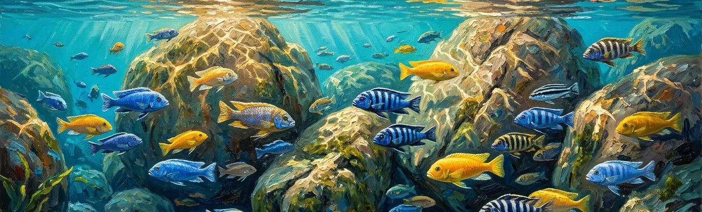
34.Which African lake holds more endemic fish species than any other lake worldwide?
Correct Answer: C. Rift Valley Lake Malawi
Explanation: Occupying the southern end of the East African Rift Valley between Malawi, Mozambique, and Tanzania, Lake Malawi (also known as Lake Nyasa) is an evolutionary wonderland that harbors between 700 and 1,000 species of fish—more species than live in all the freshwater lakes and rivers of Europe and North America combined!
More than 95 percent of Lake Malawi's fish belong to a single dazzling family: cichlids (including rock-dwelling mbuna and open-water peacocks) that evolved inside the lake from a handful of common ancestors over the past few million years in one of biology's fastest adaptive radiations.
Displayed in neon blues, electric yellows, and zebra stripes that rival marine coral reefs, female Lake Malawi cichlids are famous "mouthbrooders"—carrying fertilized eggs and newly hatched fry safely inside their own mouths for weeks until the young fish are big enough to fend for themselves!